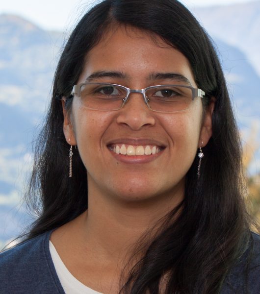
Multitemp 2017: Yady Tatiana Solano Correa wins the Best Student Oral Presentation Award
The RSDE-FBK's PhD student awarded during the last IEEE International Workshop on the Analysis of Multitemporal Images (MultiTemp 2017).
The work presented – developed under “S2-4Sci Land and Water – Multitemporal Analysis“, a project in collaboration with the University of Trento and funded by the European Space Agency (ESA) – is titled “Spatio-temporal Evolution of crop fields In SentinEl-2 Satellite Image Time Series” and exploits the availability of multi-timer remote surveillance images for agricultural land monitoring.
“Remote detection technology allows, through the analysis of satellite images, to monitor many aspects of our planet – Professor Francesca Bovolo, RSDE Head Unit, explains. In the award-winning work, a method has been developed to automatically identify crop fields by using spectral information available in long data time series. Having this information allows the development of numerous applications for precision agriculture such as the monitoring of the evolution in relation to the state of the crops, the irrigation and fertilization of the soil, the identification – at the single crop-field level – of possible illnesses, stress factors, etc. This allows to take preventive actions and manage the land accurately, by predictingting potential risks. ”
The goal is to develop multitemporal sequencing methods that can exploit the specific properties of images captured by the new satellite Sentinel-2 (S2 – designed by ESA under the Copernicus European Earth Observation Program) in terms of spatial, spectral, and temporal resolution. In particular, the project looks at three main applications and methodological areas: time series analysis; change in detection and attribution; update of land maps. The award-winning paper contains and illustrates the results of the first methodological area.
“The high spatial resolution offered by S2 allows identifying and analyzing single crop fields, even when their size is relatively small (a few acres) at high temporal resolution”, Yady Tatiana adds. In the literature, there are few techniques for crop field detection and analysis at single field level. The work proposes a dynamic mapping approach of crop fields using time series of Sentinel-2 data; we are able to identify and update the field crops ensuring that they have been used at least once in the period considered. To achieve this, spectral, spatial and temporal information is used. First we analyze the high variability of the crop cycle over time to acquire spectral and spatial information useful for the identification of the crop field. Later on, each plot of land is labeled, and a timely analysis is made at single crop field level. “

