Frontiers technologies to discover hidden archaeological sites
September 10, 2025
The LidArc project is an international initiative that will map thousands of square kilometers of archaeological landscapes at unprecedented geometric detail, advancing LiDAR-based 3D mapping and large-scale.
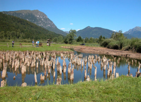
How can airborne LiDAR technology help discovering hidden archaeological sites under canopy? How many historical sites are still forgotten and hidden in forestry areas around the world?
 FBK and its 3D Optical Metrology unit are a key partner in the LidArc Initiative, a five-year, $10 million project funded by the Hitz Foundation. The initiative aims to make high-resolution LiDAR (light detection and ranging) mapping more accessible to archaeologists.
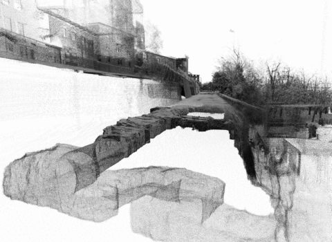
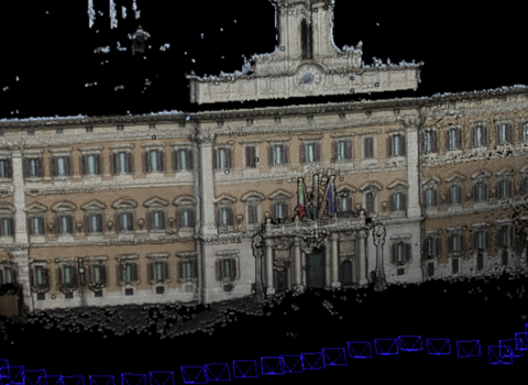
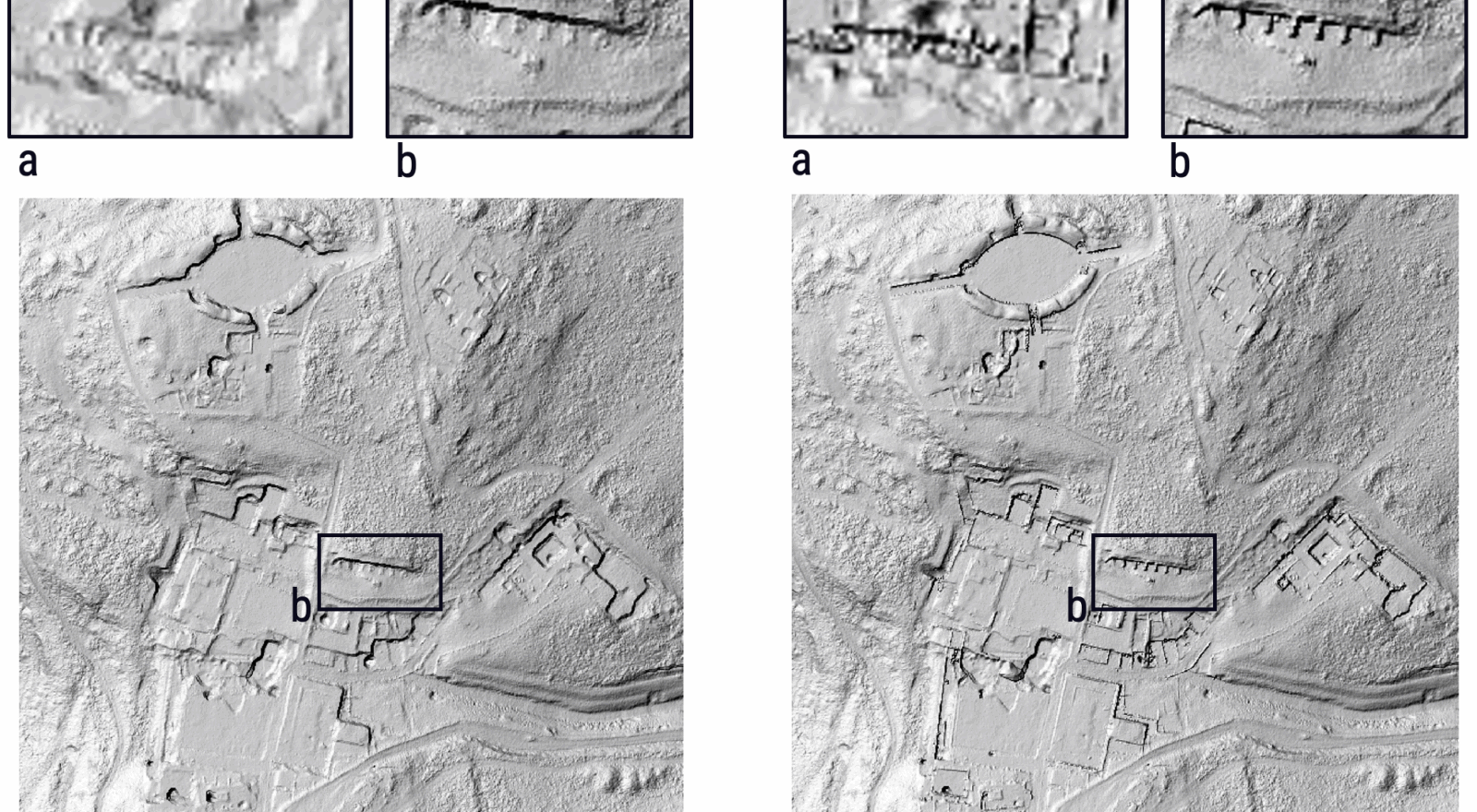
This technology uses airborne (airplanes and drones) active sensors to derive detailed surface models of the Earth, effectively “seeing through” forest canopies to reveal the outlines of hidden ancient buildings, roads and settlements.LiDAR is not a new technology in archaeology but it still has many open challenges.
According to Fabio Remondino – head of 3DOM-FBK, “this project is a “game-changer” for computer scientists and archaeologists as it will provide a first-of-its-kind amount of high-resolution LiDAR data to be processed and an unprecedented level of clarity and coverage for viewing and studying ancient landscapes under canopy”.
The initiative is a collaborative effort led by the non-profit Global Digital Heritage (GDH) research & educational organisation. The LidArc consortium brings together some of the world’s leading experts in LiDAR and archaeological surveys. This diverse team aims to advance LiDAR mapping of under canopy archaeological sites, exploiting AI methods to better and faster process billions of points and search for unknown human structures waiting to be discovered in the Amazon, Tuscan hills or African landscapes, among others.
FBK’s role
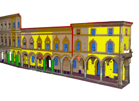
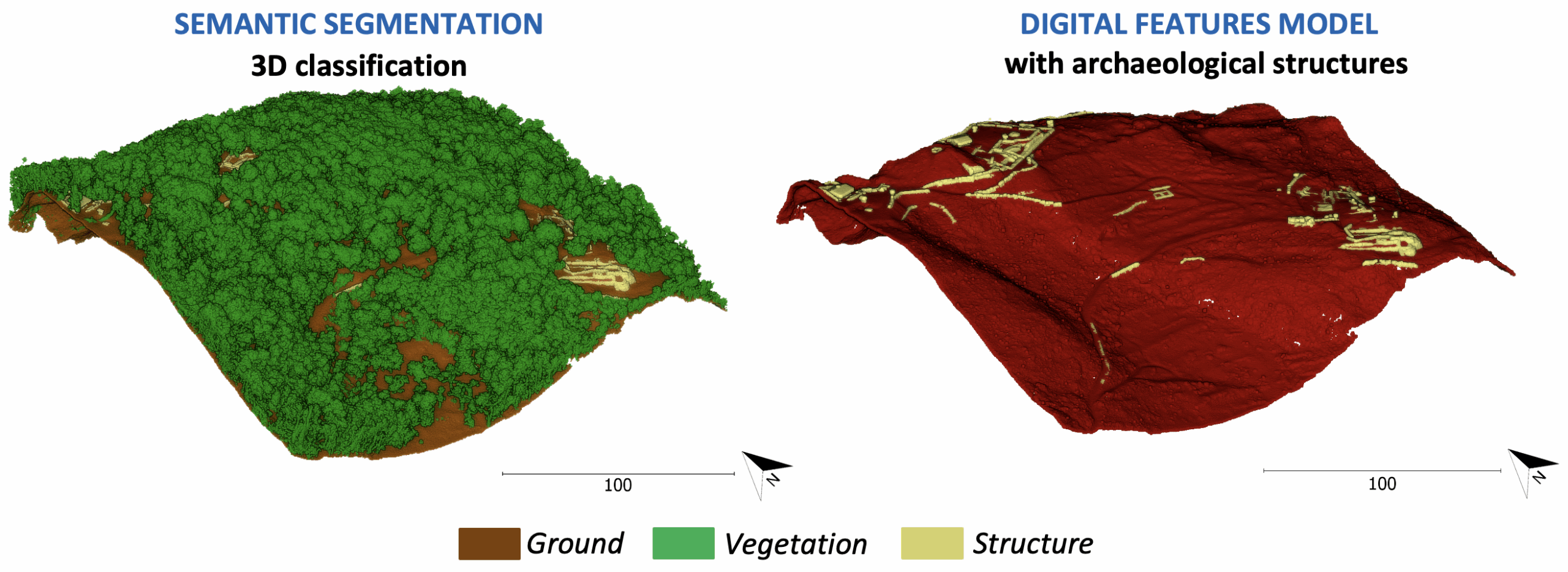
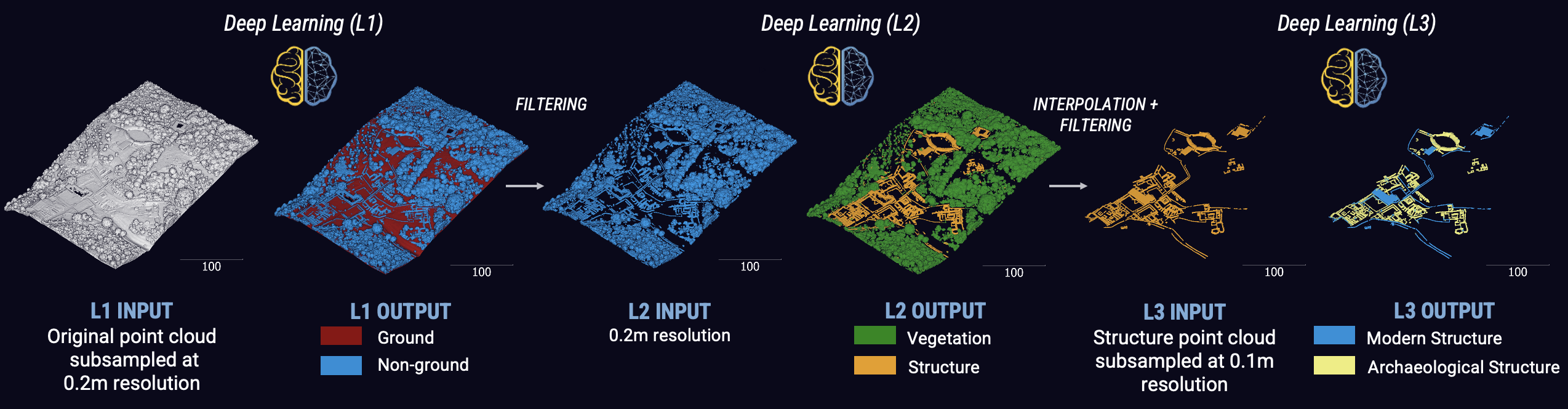
FBK-3DOM is involved in the LiDAR data processing, including strip adjustment, accurate geo-referencing and semantic segmentation for the identification of archaeological features. Exploiting and advancing its past achievements in 3D classification of point clouds, FBK-3DOM wants to tackle scalability, generalisation and explainability. “Data will come from various LiDAR sensors and countries around the world – explains Gabriele Mazzacca, FBK young researcher – and collaborations with archaeologists will boost the developments towards reliable and efficient AI-based processing methods”.
Global impact
The LidArc initiative wants to advance LiDAR-based 3D mapping and large-scale AI-based point cloud processing to map vast landscapes and uncover ancient civilizations across multiple continents. LidArc is among the most ambitious archaeological projects ever funded. It spans multiple continents, including sites in Italy, Bosnia and Herzegovina, Malawi, South Africa and Central America. The project will provide researchers and communities worldwide tools to rediscover and understand cultural heritage, and 3D data to access 3D archaeology around the world.
The author/s
-
 Fabio Remondino
Head of Unit 3D Optical Metrology (3DOM), Digital Industry Center -FBK
MORE INFO
Related articles