Giving meaning to 3D points
They are able to represent the shape, size, position and orientation of objects and scenes in space for applications such as 3D city modeling, land monitoring, power line inspection, autonomous navigation in indoor and outdoor spaces, industrial monitoring, documentation and restoration of cultural heritage
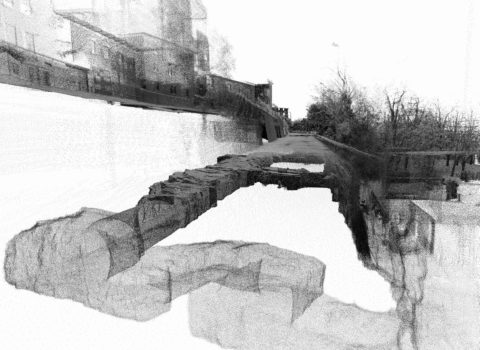
3D point clouds are simple but powerful collection of elementary geometric primitives able to represent shape, size, position and orientation of objects and scenes in space. In recent years, point cloud generation and processing techniques were extensively investigated by the research community and used for various applications such as 3D city modelling, territorial monitoring, power line inspection, understanding of indoor spaces, industrial inspection, object identification, heritage documentation and restoration, etc.
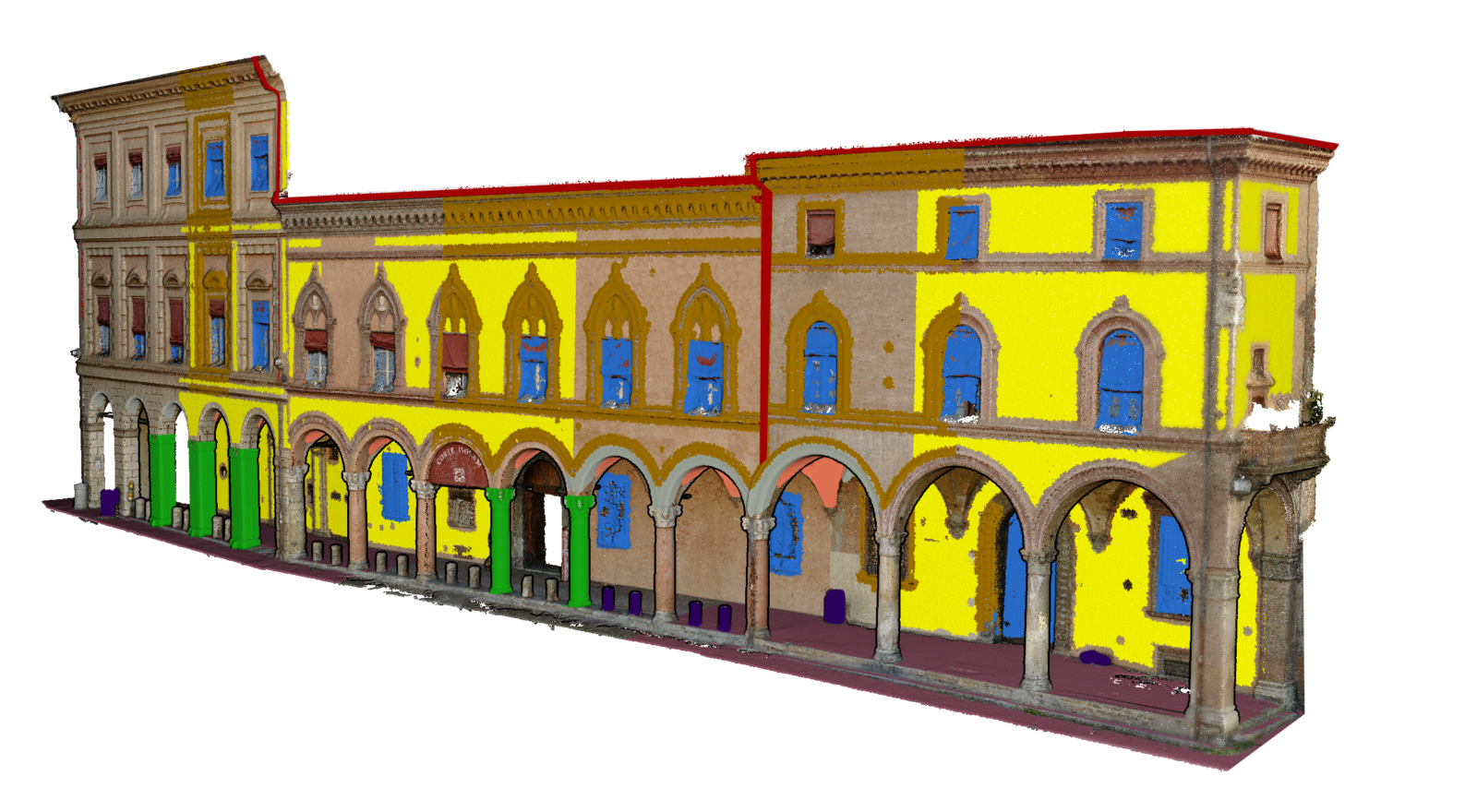
Nowadays segmentation and classification methods should be used for successful exploitation and better understanding of 3D point clouds. Segmentation refers to groupping points into subsets (commonly called “segments”) that share one or more properties (geometric, radiometric, etc.), whereas classification means the definition and assignment of specific classes (“labels”) to points based on different criteria.
As a result, point cloud classification entails assigning a meaning (i.e., semantic attributes) to 3D points in addition to basic colours and geometric information. This allows a widespread use of such (geo)spatial information.

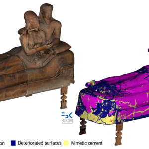
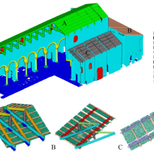
In the last years, our group has been working on the semantic interpretation of 3D point clouds, generated with photogrammetry or laser scanning, using machine and deep learning techniques – explains Fabio Remondino, FBK researcher and head of the 3DOM unit. We have focused our investigations on two main sectors: heritage and geospatial, as they both feature open R&D issues and many possible deployment capabilities of point cloud classification solutions.
We have developed a flexible solution for the 3D classification of heritage point clouds – says Eleonora Grilli, FBK researcher in the 3DOM unit. We considered all different needs of the heritage field (documentation, restoration, communication, etc.), and we now have a trustworthy solution that can support the field and allow end-users to exploit even enormous point clouds in daily operations.
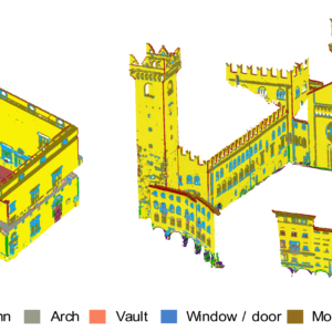
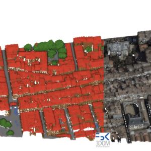
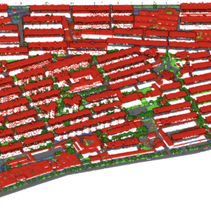
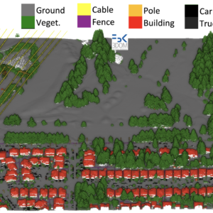
The geospatial field is producing more and more 3D point clouds from airborne platforms – says Emre Özdemir, a joint PhD student of 3DOM-FBK and Skoltech (Moscow, Russia). Within our activities, we have realized an efficient framework (named TONIC: efficienT classification Of urbaN poInt Clouds) for the semantic enrichment of urban 3D point clouds. Our method is reliable, generalizable and efficient in terms of power consumption, memory requirements and training/inference time. Such enriched point clouds could be preparatory for 3D city modelling, change detection, urban planning, and other territorial applications.
FBK-3DOM solutions are thus not confined to specific data (e.g., aerial laser scanning or RGB-D data), scale (terrestrial vs aerial) or scenarios (indoor vs outdoor). FBK-3DOM has developed a matured expertise in enriching 3D point clouds with semantic attributes and is now looking at deploying solutions in additional domains such as quality control in industry, smart farming, forestry analysis, VR/AR visualization, and so on.
