
Drones and AI for wildlife conservation
June 10, 2026
How FBK develops solutions for biometrics of animals from drone data
The rapid decline of wildlife populations and loss of biodiversity have prompted an urgent need for more effective and feasible nature conservation practices. We are witnessing habitat loss due to agricultural expansion, urbanization, land degradation or overexploitation and climate changes. Therefore the research community is called to develop innovative solutions to monitor wildlife populations, track their movements and manage human-wildlife conflicts. Recent advances in technology have paved new avenues for more accurate and larger-scale interventions that can help us reduce the rapid decline of wildlife populations.
WildDrone – Technological innovation for more effective wildlife conservation actions
WildDrone, funded by the EU’s Marie Skłodowska Curie Actions and coordinated by SDU, brings together a broad multidisciplinary consortium, including 3DOM-FBK, to research and develop the use of drones and AI methods for wildlife conservation. As a doctoral network, WildDrone aims to build a network of doctoral candidates with close connection to conservation practitioners and to educate them on real-life challenges in conservation through hands-on experiences. The project is revolutionizing wildlife conservation practices by integrating the fields of aerial robotics, computer vision and wildlife ecology, using autonomous drone technology as a unifying platform. As wildlife conservation is a global problem that requires collaborative solutions, project solutions were developed together with experienced conservation practitioners, tested out in real-life settings and shared with the ecology community to maximize their use.
R&D in FBK
3DOM-FBK’s focus is to combine drone videos and 3D perception for wildlife monitoring. Animals move, interact and occlude each other in space, yet most processing pipelines analyse drone footage in 2D: they treat animals as points or boxes on flat frames and discard the geometric cues the camera has already captured. Exploiting our photogrammetric background and the current AI hype, our work aimed to recover information of depth, orientation, viewpoint, spatial layout of the scene and animal dimensions. Each animal is localised in 3D space, with its position, orientation and size. This information supports both ecologists in recognising individuals within groups and robotics engineers to automatically reposition drones to capture missing viewpoints, maintain appropriate distances and navigate around animals. Individual-level monitoring is the new frontier for long-term monitoring of wildlife and understanding how they are adapting to environmental changes due to climate change. Working in 3D rather than in 2D enables behavioural analyses, viewpoint-aware re-identification of individuals and structured spatial records that can be queried.
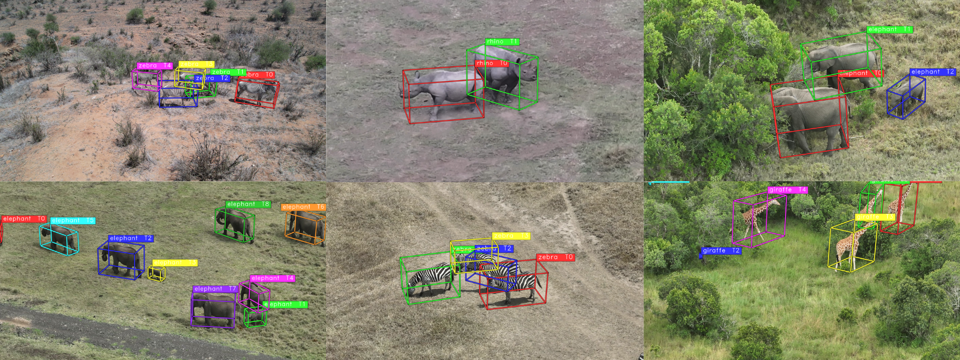
Wildlife perception in 3D from a drone video.
Fieldworks and hackathons
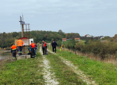
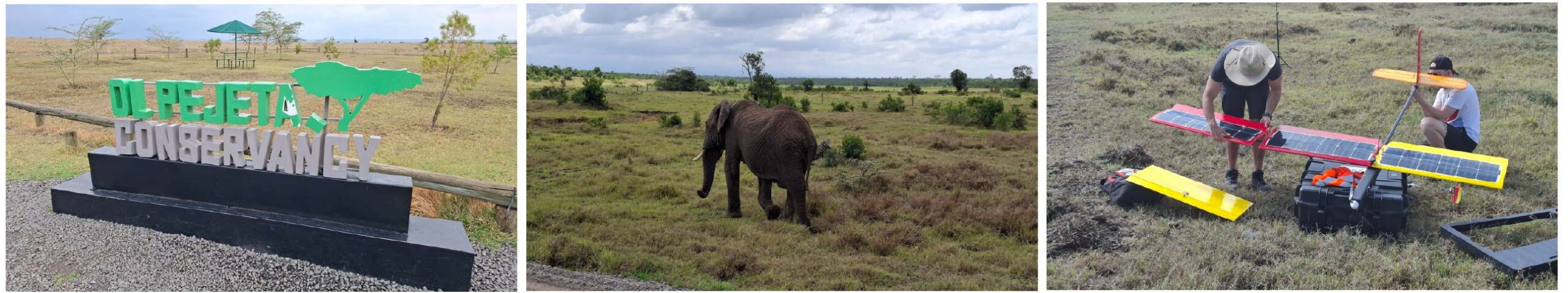
Over the course of the project, partners from computer science and drone engineering worked alongside field ecologists in various WildDrone Hackathons, culminating in multi-purpose data collection and solutions validation in the savanna environment at Ol Pejeta Conservancy (Kenya). The ongoing biodiversity crisis makes it essential for technologists to engage directly with field ecologists and understand their practical needs. Such collaboration helps technologists grasp the restrictions, limitations and constraints of fieldwork, enabling them to design solutions that are truly deployable in real-world conditions. All fieldwork followed strict ethical and safety protocols to cause minimal disturbance to animals and protect tourist privacy, following the Kenya Wildlife Research and Training Institute guidelines.
During the hackathon activities, the collected data contributed to two research outputs: a framework for reconstructing animal movement and visibility in 3D from standard drone videos and a benchmark dataset for 3D aerial wildlife detection in African savannas. Together, these explore how drone footage can capture not only where animals appear in an image, but also their position, orientation, viewpoint and visibility over time. The field data from Ol Pejeta allowed these methods to be developed and evaluated under real ecological conditions, including changing flight angles, animal movement, vegetation, group interactions, and partial occlusions. This engagement helped translate field observations into computational tools shaped by the practical needs of wildlife monitoring.
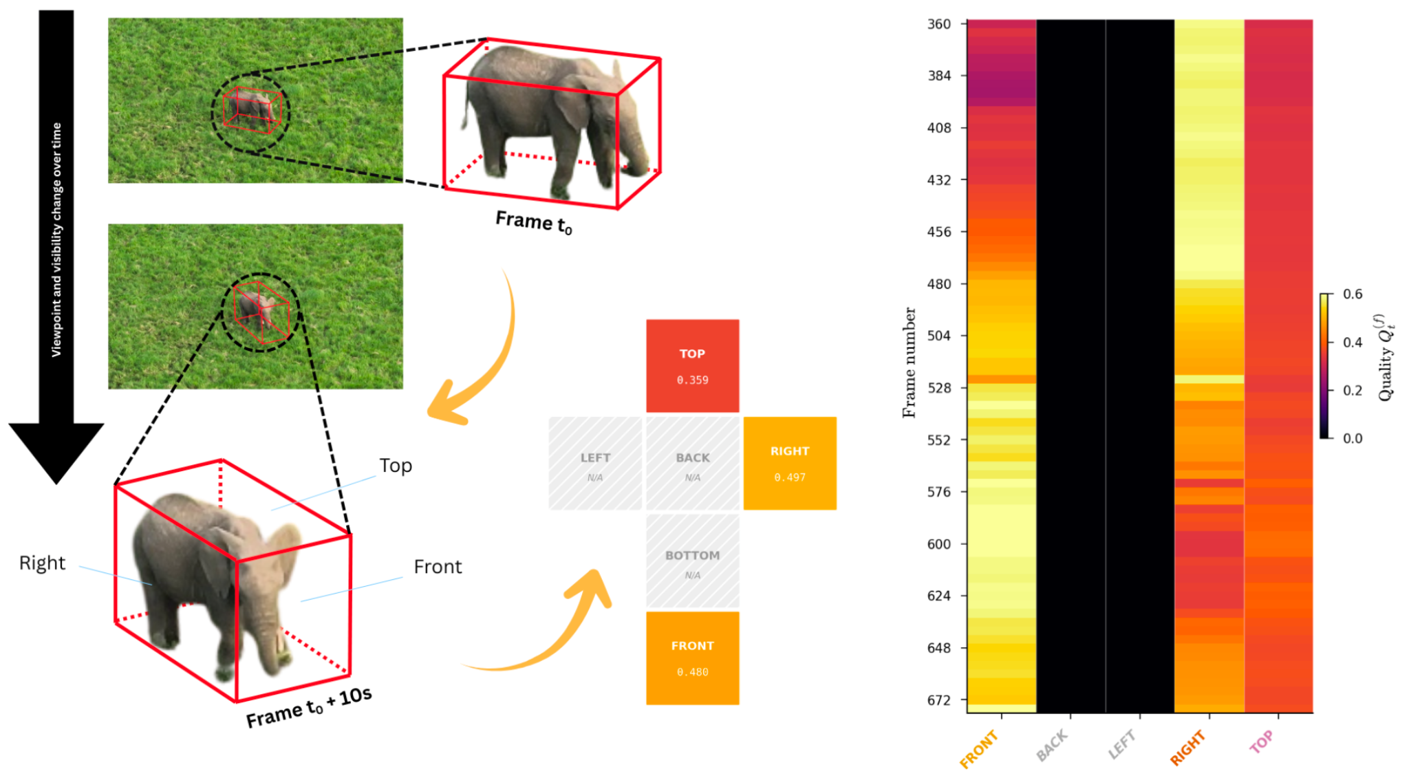
Temporal viewpoint and visibility assessment for drone-based wildlife observations.
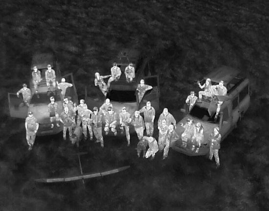
WildDrone team as seen from a UAV (thermal)
What’s next?
WildDrone research outputs will create a natural bridge to the next phase of work within the WildBotics EU MSCA-DN project, coordinated by 3DOM-FBK. The 3D perception of animals developed in WildDrone will feed into broader multi-modal data fusion approaches, where visual information from drone footage can be combined with sensors such as RGB-D cameras, LiDAR, radar, GNSS and IMU. Within WildBotics, this integration will support improved SLAM, navigation, mapping and scene understanding for robotic platforms operating in complex natural environments. The broader goal of the project is to move toward systems that can not only collect ecological data, but also interpret their surroundings in real time and adapt their sensing strategies in the field.
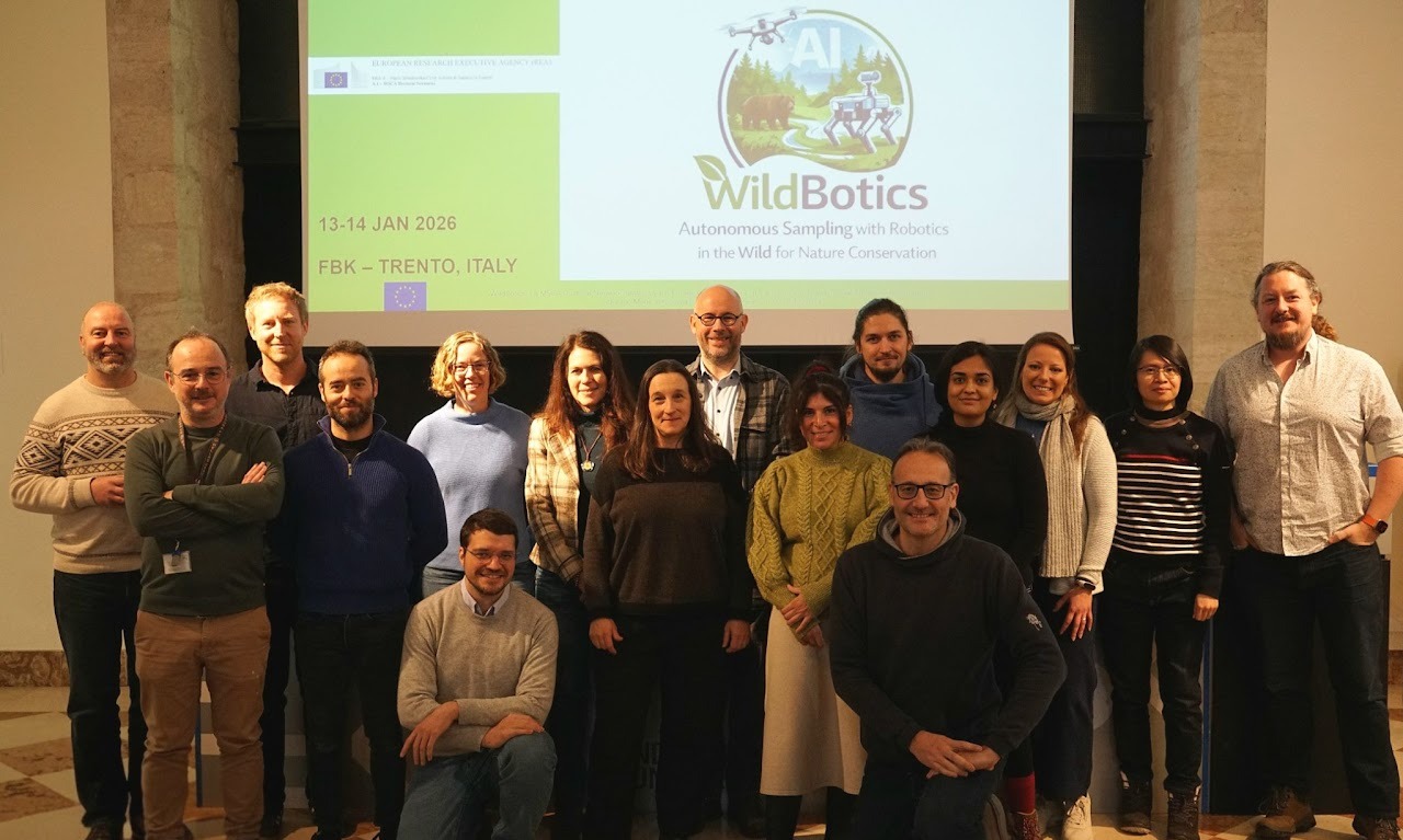
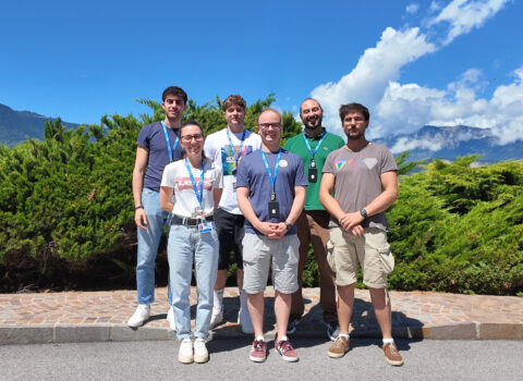
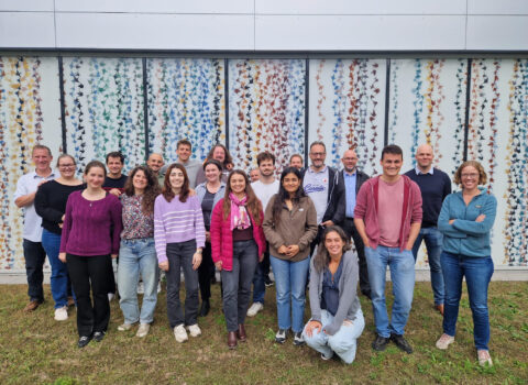
The WildBotics consortium at the kick/off meeting in Trento, January 2026.
The author/s
Related articles