#GNSS
-
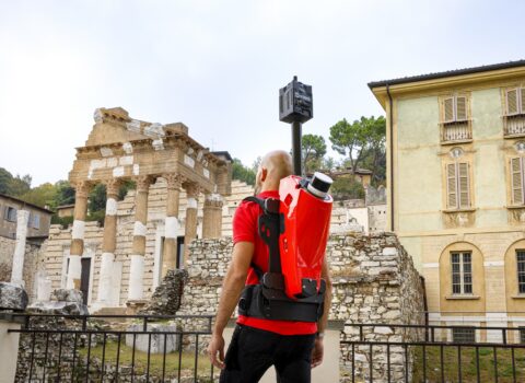 June 10, 2026TRAIL: Mobile mapping in urban areas becomes more accurate and autonomousFBK and 3D Target develop a new SLAM pipeline based on the integration of LiDAR and inertial data, improving the accuracy, reliability, and speed of 3D surveys even under challenging GNSS conditions.
 -
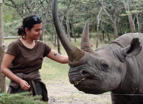 June 10, 2026Drones and AI for wildlife conservationHow FBK develops solutions for biometrics of animals from drone data
 -
 November 18, 2025How drones, computer scientists, AI and ecologists are teaming up to improve wildlife conservationThe WildDrone and WildBotics EU-funded projects research and develop new solutions within an interdisciplinary approach for a new era of wildlife conservation
 -
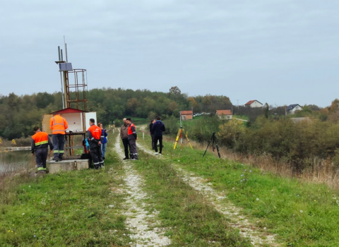 March 31, 2025Mining safety ensured with SEC4TDFBK, a partner in the European SEC4TD project, contributed to the development of IoT-based GNSS sensors and predictive analytics for monitoring and risk management in mine tailings storage dams.