
The World Photogrammetry Conference to Be Hosted in Trentino
June 1, 2018
The arrival of over 400 experts from all over the world is expected, that will discuss 3D modeling, drones, cultural heritage and land monitoring. The event has been organized by the FBK 3DOM Unit, a leading research organization in the sector.
Trentino will host the “Towards Photogrammetry 2020” world conference that is sponsored by the International Society of Photogrammetry and Remote Sensing (ISPRS) and dedicated to techniques that allow to generate 3D models of objects or places starting from digital images.
The event, which will attract more than 400 experts from 37 countries around the world, is scheduled from June 4 to 7 at Riva del Garda (there will be introductory tutorials on June 3) and has been organized by Trento-based Fondazione Bruno Kessler‘s 3DOM research unit.
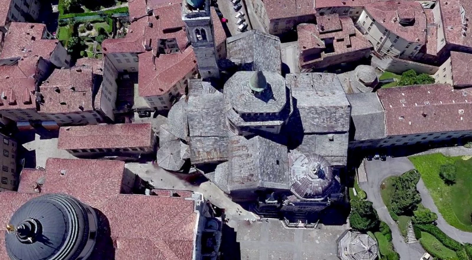
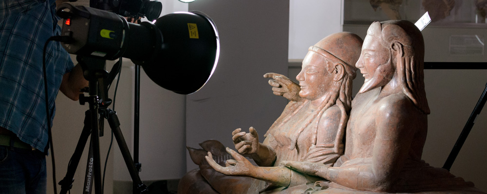
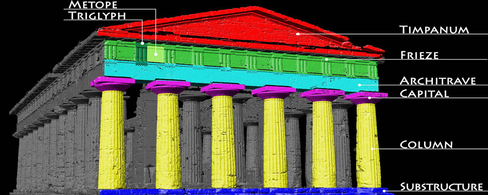
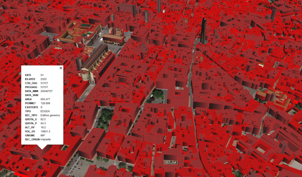
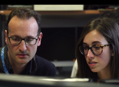
Not a random choice, since the Trentino-based research organization is at the forefront of 3D modeling, with applications in the environmental, energy, industrial, biomedical and cultural heritage fields. Suffice it to say that among the various research projects, the FBK 3DOM unit led by Fabio Remondino has dealt with the 3D reconstruction of the “Sarcofago degli Sposi”, considered one of the most important works of the Etruscan world, of the archaeological site of Paestum, of the generation of 3D models for the energy efficiency of buildings, smartphone-based 3D rendering and rapid mapping after catastrophic events (such as landslides).
During the conference at the Conference Center of Riva del Garda, plenary sessions will alternate with invited presentations and parallel scientific sessions, to which experts can participate by choosing based on their technical field of interest. Conferences will discuss the most innovative techniques of photogrammetry, metrology, 3D modeling, drones, cultural heritage and land monitoring.
Eleven global companies will be present at the conference, illustrating the latest news in the field of tools and software to detect, process, analyze, and represent data for the three-dimensional modeling of land, cities and objects.
The author/s
-
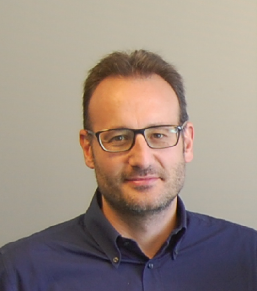 Fabio Remondino
Head of Unit 3D Optical Metrology (3DOM), Digital Industry Center -FBK
MORE INFO