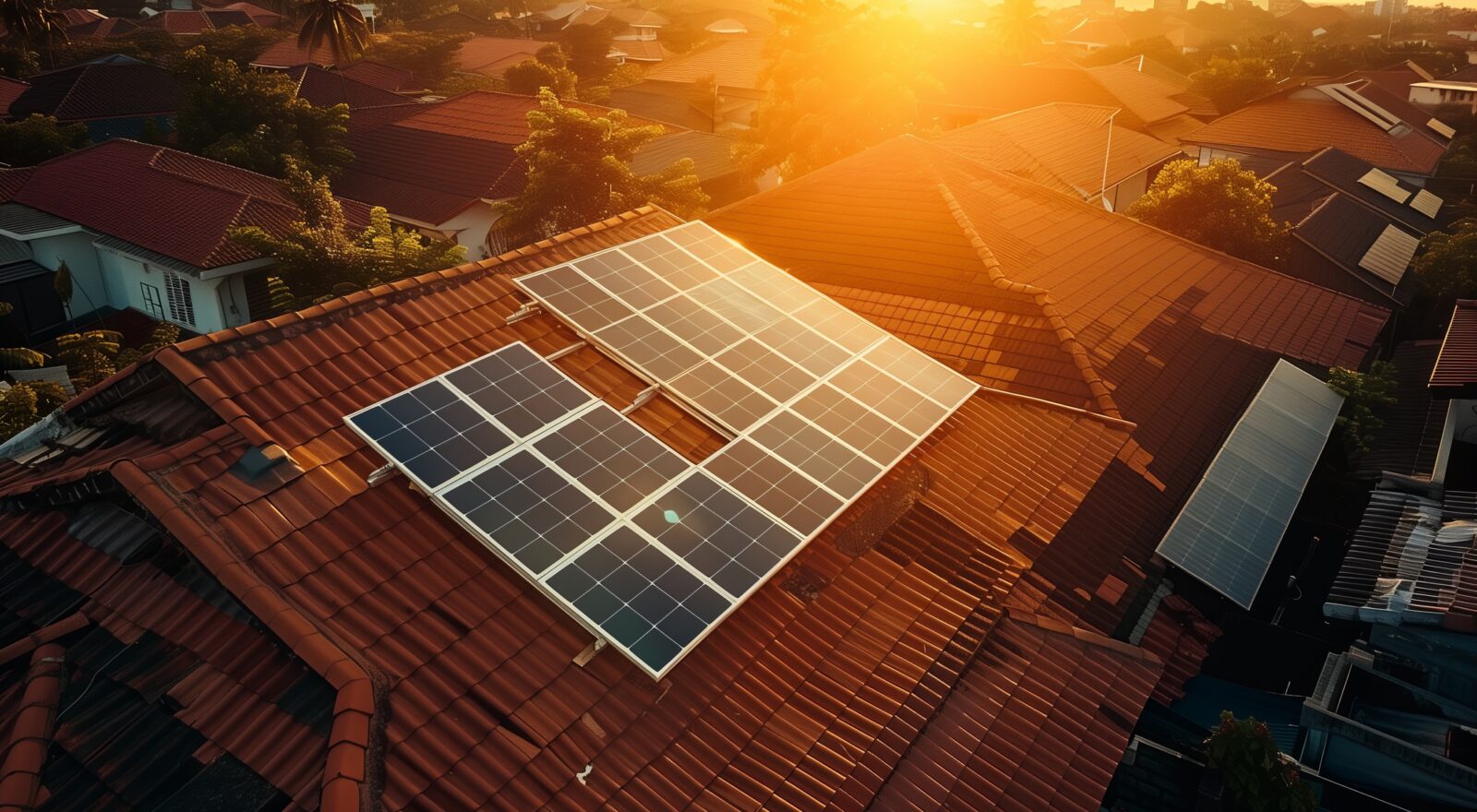
How much energy can you produce with solar technology?
March 3, 2025
Find out, on World Energy Efficiency Day, with the results of FBK's 3DSOLAR project and the Province's webGIS.
We are talking about an innovative tool that allows citizens to work out irradiance, energy production and power that can be installed on every building in Trentino. Thanks to FBK’s calculations and the Autonomous Province of Trento’s webGIS, it is possible to determine what the photovoltaic potential of the entire region (ca 6000 sq. km) is and to orient provincial development policies on renewable sources.
Fondazione Bruno Kessler – on behalf of the Provincial Agency for Water Resources and Energy of the Autonomous Province of Trento (APRIE) – has developed 3DSOLAR, a project that is part of the broader provincial strategies for achieving the objectives set by the ecological transition, in which solar photovoltaic energy is identified as a key technology.
“The main objective we set ourselves with 3DSOLAR was the estimation of large-scale photovoltaic energy producibility considering the accurate calculation of solar irradiance over the entire region and the areas available for new installations as key elements, using automated mapping processes and Artificial Intelligence solutions,” Fabio Remondino, head of FBK’s 3DOM research unit, said.
The main results of the project, i.e., irradiance maps calculated on Digital Surface Models at 1 m resolution and related estimates of electrical producibility, are available on the public Autonomous Province of Trento webGIS .
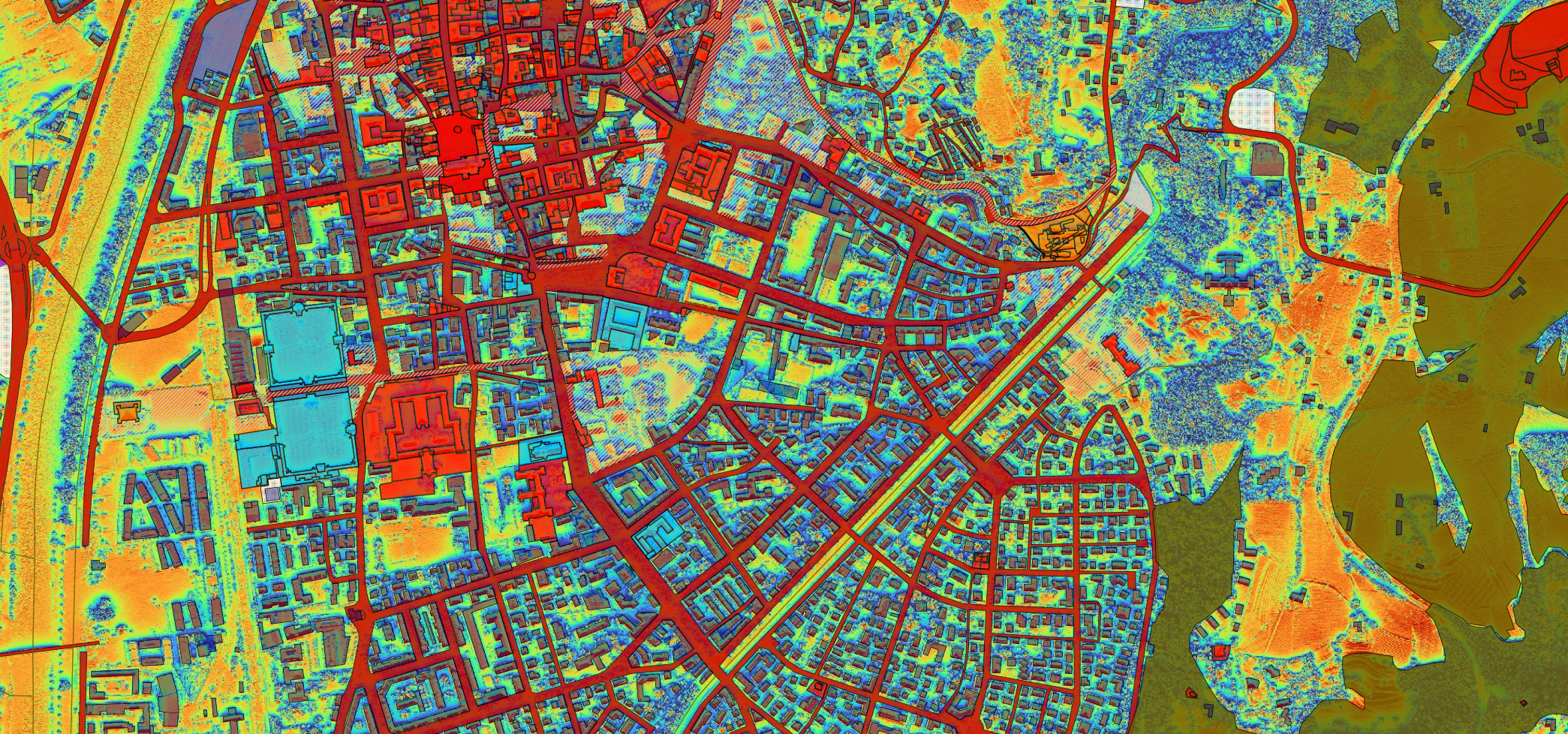
Extraction from the Autonomous Province of Trento webGIS map.
“3DSOLAR is an ambitious project because of its large scale and the level of detail required for solar irradiance estimation,” Elisa Farella, researcher in FBK’s 3DOM unit, said. She went on, “The high resolution of the final irradiance maps (1 meter), is an unprecedented product in the international landscape, and is now available to all citizens through the Province’s portal. The working methodology developed for 3DSOLAR includes the integration of GIS modeling methods for solar mapping, spatial interpolation techniques for correcting irradiance data, and Artificial Intelligence solutions for identifying already installed solar panels to be disregarded in the calculation of surfaces still available.”
One of the biggest challenges of this project was managing and processing the huge amount of data involved. “In fact,” Simone Rigon, developer awith the FBK-3DOM Unit, stressed ”to address this problem, we took a strategic approach based on automation and workflow optimization. First, we identified all the processes that could be automated, minimizing manual intervention and increasing operational efficiency. At the same time, we developed an automated pipeline with the goal of not only structuring and speeding up the workflow, but also efficiently managing all the intermediate data produced, optimizing storage and reducing redundancy.”
The portal with the data produced by the 3DSOLAR project is designed not only for technicians and planners but for all residents and offers an terrific tool for determining the cost-effectiveness of installing new PV systems. The webGIS also shows areas considered by current legislation to be unsuitable for new installations and restricted areas and buildings. The “Draw – measure on the map” tool allows the user to select the area of interest and obtain information on areas, installable power, energy yield and annual electrical production.
The author/s

-
 Elisa Mariarosaria Farella
Researcher @ the 3D Optical Metrology (3DOM) research unit, she deals with Optical Metrology and in particular with 3D Survey and Modeling, VR / AR Applications, Optical Sensors Integration.
MORE INFO -
 Simone Rigon
Researcher at 3DOM unit FBK
MORE INFO -
 Fabio Remondino
Head of Unit 3D Optical Metrology (3DOM), Digital Industry Center -FBK
MORE INFO