


Stress-in-bici: the map that evaluates roads from the perspective of cyclists
September 17, 2026
The map developed through FBK research uses OpenStreetMap data to show how a road’s characteristics can make a bike ride more or less stressful.
How challenging can a road be for someone cycling along it? This is the question that gave rise to Stress-in-bici, an experimental map of the Italian road network created by Maurizio Napolitano based on a thesis developed as part of the research activities of FBK’s Digital Commons Lab.
The project is based on Leonardo Venturoso’s Master’s thesis in Data Science at the University of Trento, carried out at FBK within the Center for Digital Society and builds on an initial experiment conducted at the Foundation. In his thesis, Venturoso adapted the Level of Traffic Stress, a method developed by Professor Peter Furth of Northeastern University, to the Italian context, specifically the cities of Bolzano and Trento.
The model classifies roads into four levels, taking into account characteristics such as the speed limit, the number of lanes, and the presence of cycling infrastructure, along with information on gradient and the extent to which each individual road section influences the entire graph.
Following the awards the project received, the work continued at Fondazione Bruno Kessler in the Digital Commons Lab of the Digital Society Center. The results were published in the Journal of Urban Technology, and the code was made publicly available under the name LTS BikePlan.
This is where Maurizio Napolitano, head of the research unit that worked on the project, applied the model to the entire Italian road network and then displayed the results on stressinbici.it.
“It is important to clarify that the map does not determine whether a road is safe and does not calculate the risk of an accident,” Napolitano explaines. “Instead, it shows how its design and its role in the network can make things difficult for cyclists. Furthermore, the classification depends on the quality and level of detail of the data available in OpenStreetMap. Interestingly, since the map was first published, the Italian OpenStreetMap community has contributed suggestions for improving the algorithm and updating the data. The results should therefore be considered a starting point for observing the network and gaining a deeper understanding of actual conditions on the ground.”
By selecting a road, users can view the assigned level, the data used, and the rule applied. The “Sections to be assessed” function also highlights discontinuities that interrupt a network otherwise characterized by lower stress levels. It does not automatically indicate where a bike lane should be built, but it does highlight points where further analysis may be useful.
The app also includes regional, provincial, and municipal statistics, as well as an experimental feature for calculating a route that prioritizes roads with lower stress levels.
Promoted on the occasion of European Mobility Week, the platform can be used to find a potentially less stressful commute to work. It will not necessarily be the shortest route and will not take real-time traffic into account, but it may suggest quieter alternatives that users may not have considered.
The map is available at stressinbici.it.
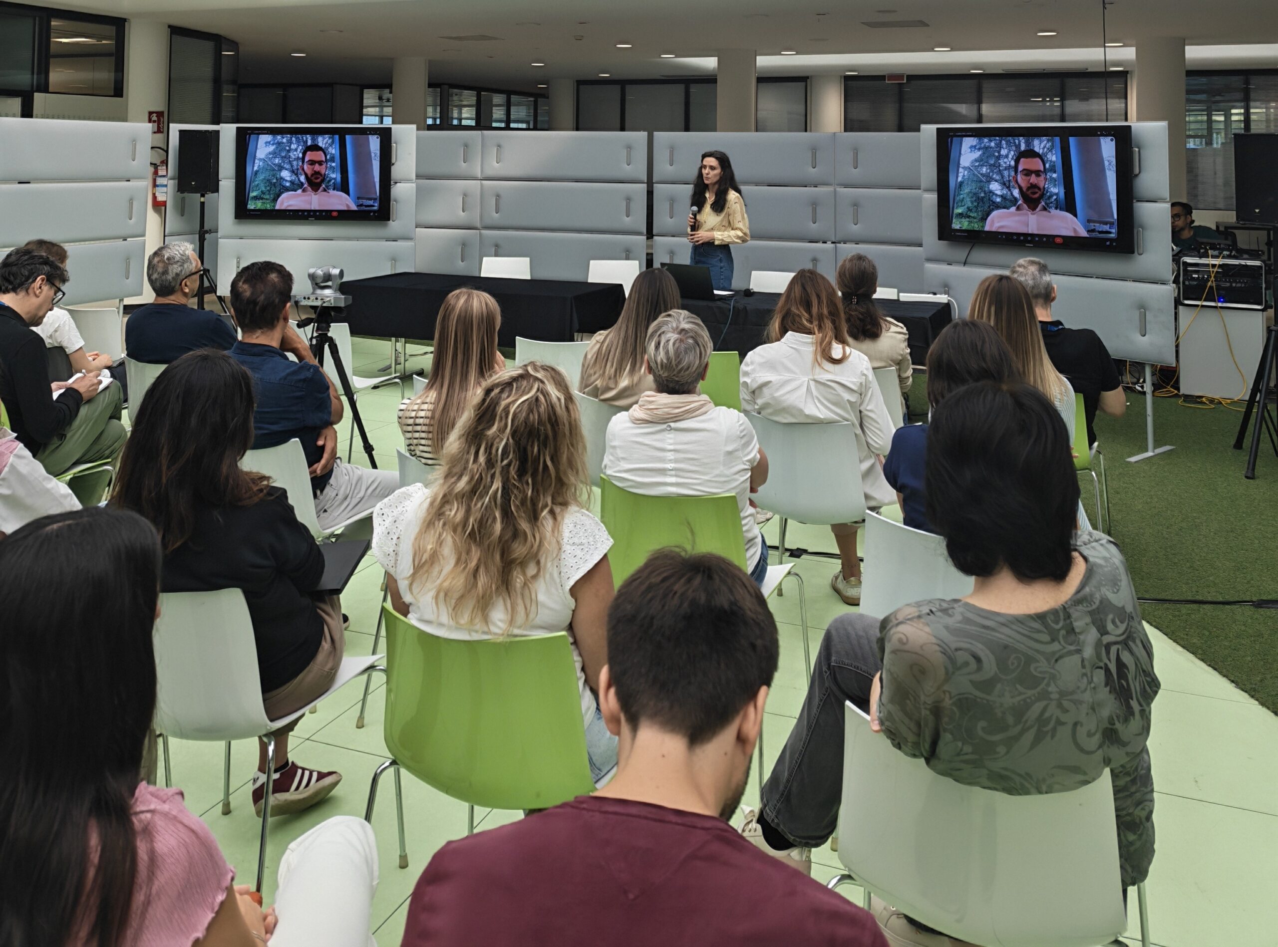 In addition to its research activities, FBK promotes other initiatives to encourage more sustainable mobility. On the occasion of “Bike to Work Day,” some of the opportunities and projects focused on commuting were presented to the internal community together with the University of Trento: from support for using public transportation to initiatives related to e-bikes and carpooling.
The author/s
Related articles